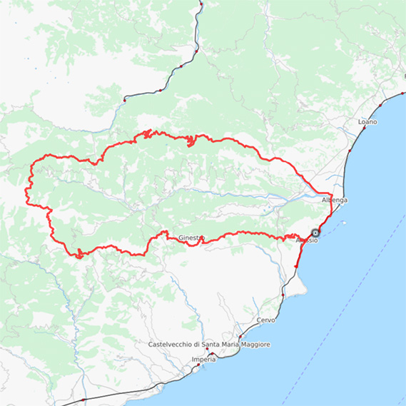
Map of the route “Laigueglia – Pinamare – Colla Balaie”: 14 651 m, 545 m of climbing and 542 m of descent, elevation between 4 m and 290 m, time 01:27:17. It is a loop that starts and ends at 43.98151, 8.15627 (latitude, longitude).
Total distance: 14692 m
Download file: 32LaiguegliaPinamareCollaBalaie.gpx